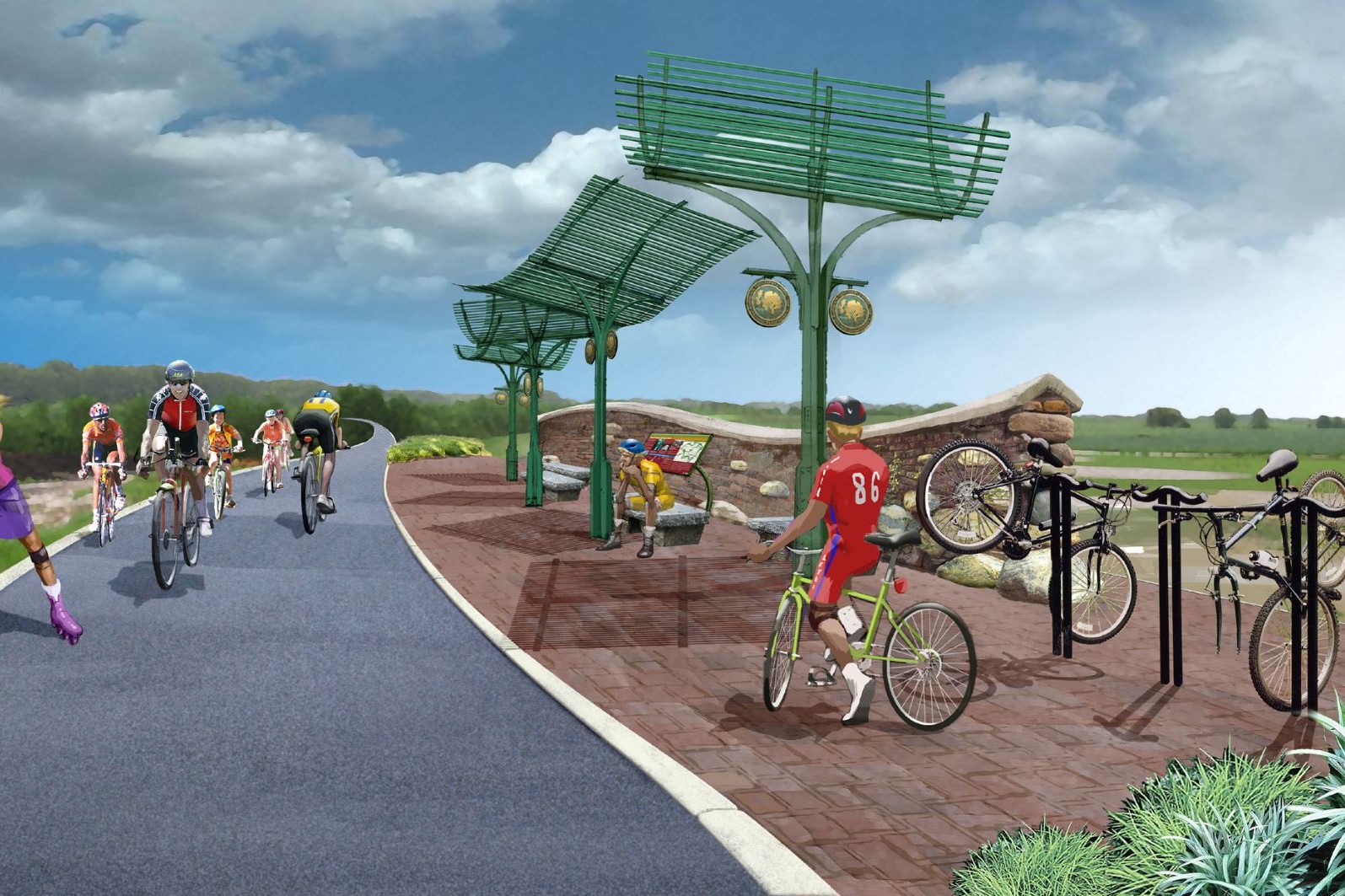
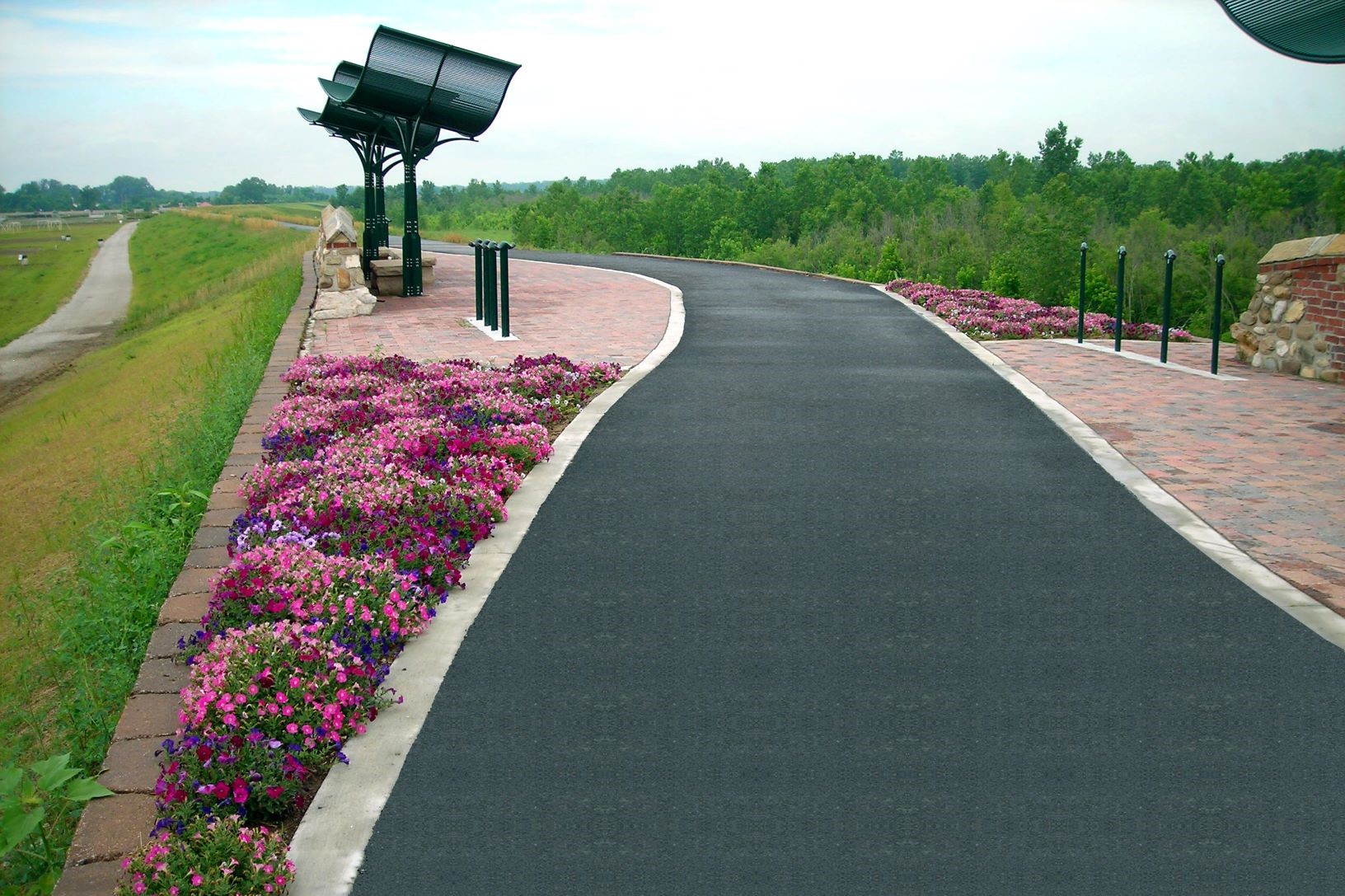
Phase IIa, IIb, and V of this walking, biking, and rollerblade trail project is approximately 3.3 miles with access ramps and rest\viewing areas. These phases include crossing Interstate 40/64 at the Boone Bridge over the Missouri River, and near Baxter Road over Bonhomme Creek. Both of these locations required flood analyses to determine the effects of construction on the high water elevation of the waterway. Signal modifications were also designed by KdG traffic engineers at the location the trail crosses Baxter Road. Overall, the project encompasses the entire Chesterfield Valley, a distance of approximately 17 miles, with more than 12 miles of the trail being on the Monarch Chesterfield Levee. The agencies involved with the project included the Great Rivers Greenway District, Missouri Conservation Department, United States Army Corps of Engineers, Monarch Chesterfield Levee District, and the Cities of Chesterfield and Wildwood. Ultimately, the Monarch Chesterfield Levee Trail will connect into the Great Rivers Greenway District’s system of trails, into the City of Wildwood and through the City of Maryland Heights to the Creve Coeur Lake trails which connect to the KATY Trail. Sustainable design occurred with this project when a parking area used for access to the trail was redesigned to be used as a BMP structure, utilizing pervious pavement. The project was the Honor Award Winner in the American Council of Engineering Companies of Missouri Engineering Excellence Awards for the project’s display of quality and innovative engineering design.